Introduction
Welcome to the GCP Viewer Wiki!
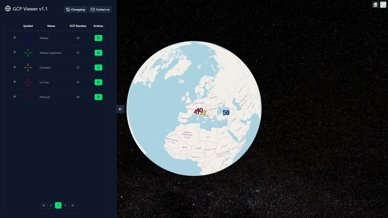
This portal provides a description of the GPC Viewer web platform. By reading this wiki, you will discover the main motivations behind the development of this platform and learn to use its functionalities.
Goal of the platform
The GPC Viewer is a freely accessible web application which aims at gathering existing GCP collections in one place, as well as providing tools to ease Cal/Val operations. By using this application, users may perform the following operations:
- Discover, visualise and download collections of GCPs and their documentation
- Visualize and understand the environment of individual GCPs using ancillary layers (Open Street Map, Sentinel-2 cloudless, Digital Elevation Models...)
- Ask for the preparation of Cal/Val ready packages (future update)
Users are encouraged to read the user manual to understand the different functionalities of the platform.
Ground Control Point Intercomparison eXercise
The GPC Viewer follows the good practice defined by the Ground Control Point Intercomparison eXercise (GCPIX). This active working group aims at defining the terminology, definitions and methodology around Ground Control Points.
This initiative is currently ongoing and open to contributions.
Contribute to the GCPIX technical note v0.2Development status
The development status of the GPC Viewer can be checked by using the "Changelog" button located in the left panel of the platform.
Contact
For any inquiry, please feel free to contact the development team at gcpviewer@visioterra.fr.